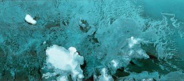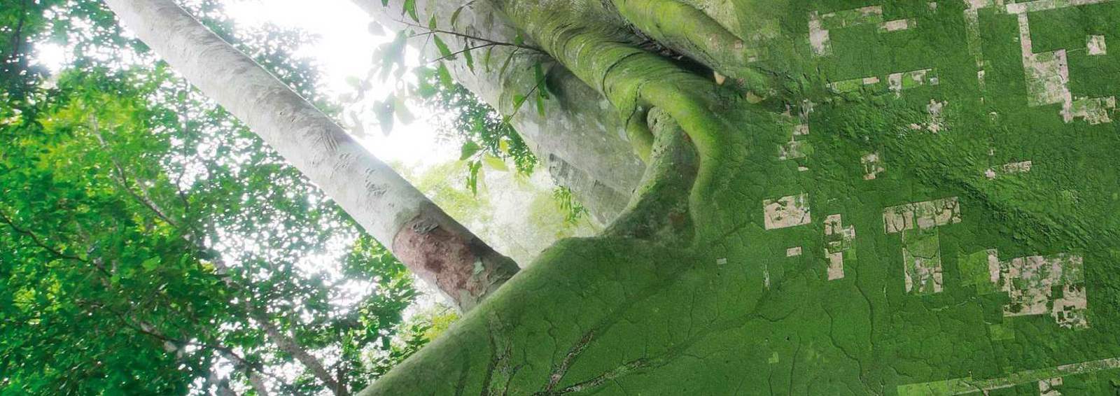
The unique satellite data program is led by KSAT, with partners Planet and Airbus. It provides universal access to high-resolution satellite monitoring of the tropics and the aim is to support efforts to reduce and reverse the loss of tropical rainforests.
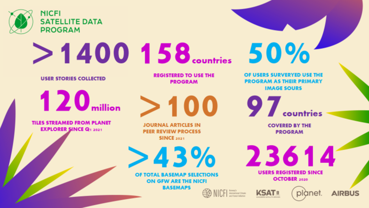
The first three years of the program have shown the value and impact that opening up commercial satellite data in this unprecedented way has to users from forest country governments, NGOs and civil society, private sector and to the media with over 1400 user stories collected to date (see numbers in the image below).
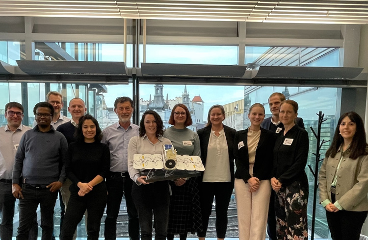
– It has been incredible to see the engagement with this program and the willingness from users to share their experiences and impact so publicly. This has also helped to drive collaboration between users. Our hope as we move into the last year of the program is to continue that outreach and engagement across the user community, says NICFI Satellite Data Program Lead, Charlotte Bishop.