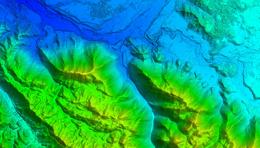
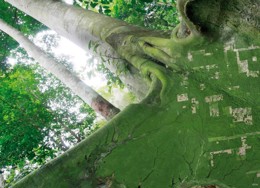
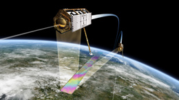
Land Monitoring Our Services Land Mapping The KSAT Land Mapping solutions contribute to the understanding of natural terrain and human impacts on the environment. We also support location choices and monitor your activities. NICFI Tropical Forest ProgramKSAT provides high resolution satellite imagery to inform action on climate change, forest management and sustainable development, free for anyone. InSAR monitoring service - Inio The service from NGI and KSAT will help you understand the ground by assessing stability from space with InSAR.