The Earth is constantly changing. Small but continuous movements on our planet affect landscapes and infrastructure. Mapping and monitoring of these movements, with high accuracy, is of outmost importan fand the only technique providing such a capability is spaceborne Interferometric Synthetic Aperture (InSAR).
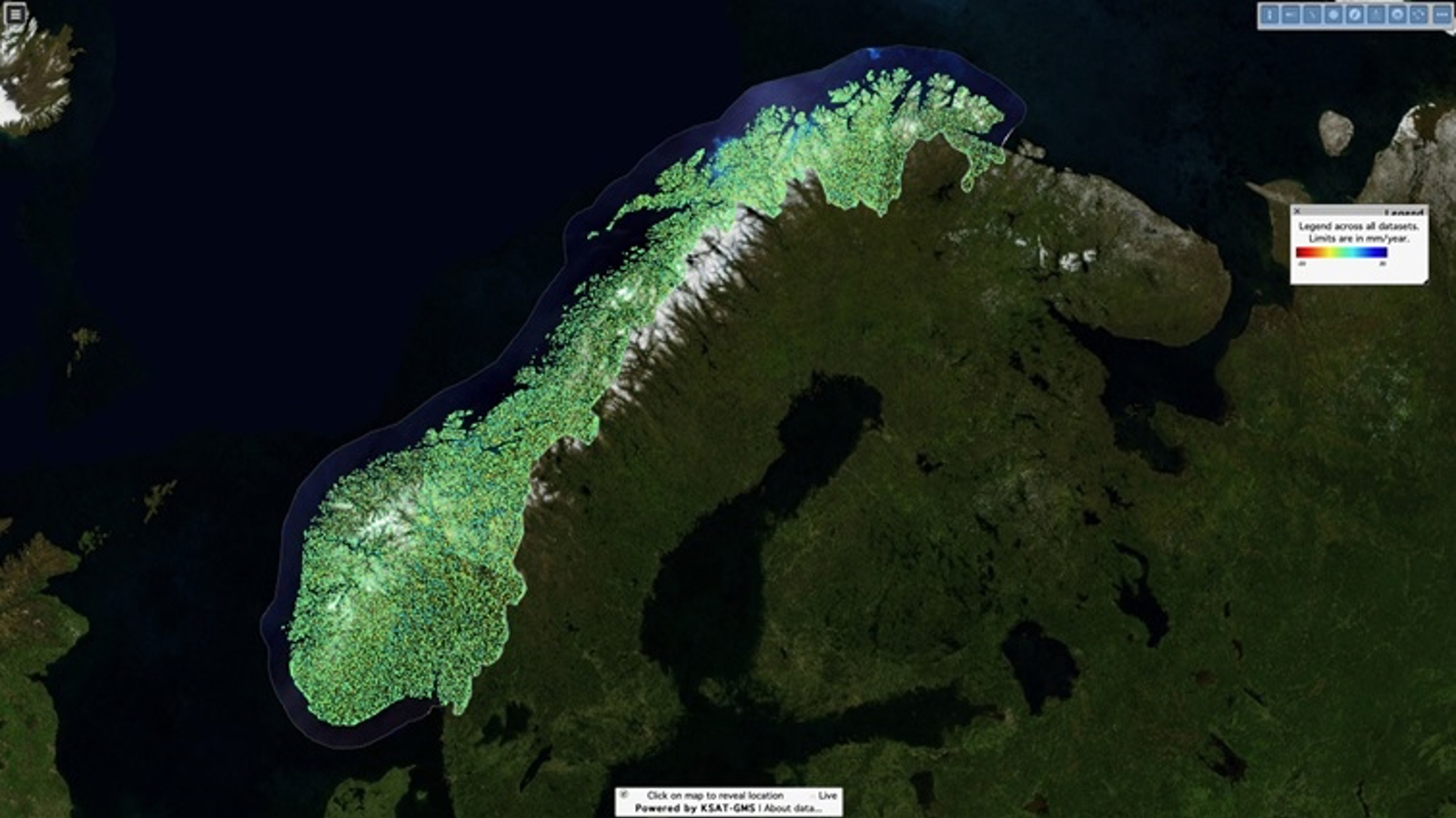
On 29th of November 2018, NGU, NVE and the Norwegian Space Centre launched the operational Norwegian Ground Motion Service with InSAR subsidence data at full resolution, freely and openly available to the general public and commercial users [web-portal available at insar.ngu.no].
The release was the result of several years of intensive research and development activities, from design phase of innovative algorithms to implementation and operationalisation of the service. The Norwegian research institute, Norut, and the Dutch company PPO.labs, have been the research and development partners for InSAR Norway, through the KSAT-GMS partnership with Kongsberg Satellite Services (KSAT).
This kind of information is of interest for a large cross-section of stakeholders. Many commercial sectors and the general public will gain access and benefit from democratization of data. Applications range from geotechnical analysis, climate change impact, insurance and real estate market, structural engineering, transport infrastructure monitoring, and even save lives.
InSAR Norway builds on the essence of the paradigm shift for Earth Observation, as identified by Josef Aschbacher, Director of Earth Observation Programmes at ESA: large scale and long term data availability, openness, frequency and quality.
A European–wide Copernicus ground motion service based on Sentinel-1 data is under planning by the European Commission in partnership with the European Environment Agency and the member states participating in the Copernicus Earth Observation programme.
The service in numbers: