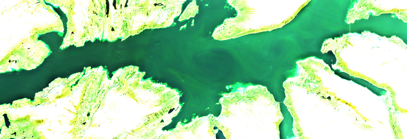
Photo: A satellite image of the Ofotfjord, where the acute algea bloom can be seen as green swirls on the sea surface. (Copyright: Copernicus Sentinel data (2019) /ESA/ Produced by KSAT)
Wild fish can swim away from the algae belt while farmed fish is trapped, and in some cases as much as 50% of the fish has died in the cages, causing massive economic losses for the producers.
Shortly after the news of the harmful bloom and subsequent fish death reached the public, KSAT produced a satellite image that shows this algea bloom in the North of Norway.
The image shows the Ofotfjord where the acute algea blom started a week ago. The image is an optical image where KSAT has enhanced the colours, hence the algea bloom can be seen as green swirls on the sea surface.
The picture was taken on May 18. by one of the European environmental monitoring satellites, called Sentinel 2B. The Sentinels are owned by ESA (European Space Agency) and KSAT provides the core ground segment for this comprehensive environmental monitoring program, called Copernicus.
It is quite common to be able to see algae blooms from space, but there is currently no operational warning service on this.
In the wake of this dramatic situation that the Norwegian aquaculture industry now experiences, KSAT, together with partners, are working intensely to explore the possibilities of using satellite data to detect algea blooms. It is also a challenge to be able to distinguish toxic algae from harmless algae in such a bloom.
By combining various types of satellite data, such as optical and radar, with machine learning we are hoping to be able to detect and distinguish different types of algae, and develop a future operational warning service, in line with our other services.
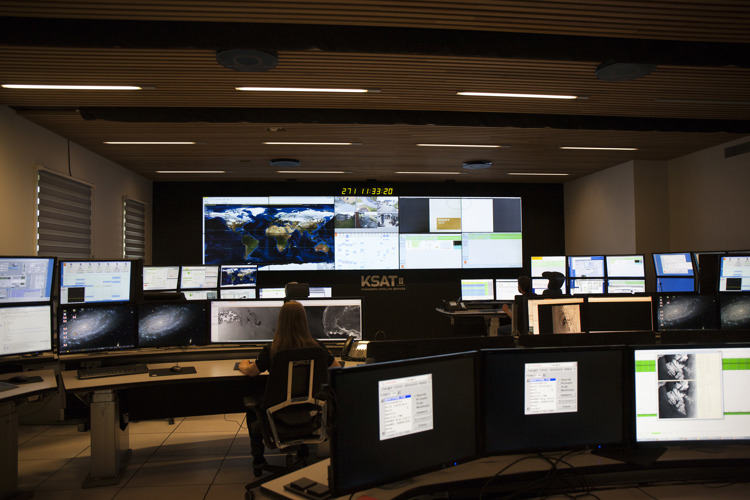
KSAT provides daily monitoring and early warning services to both the oil industry and authorities from the 24/7 operations center in Tromsø, Norway.
In Norwegian waters, this includes early warning of oil spills on the Norwegian shelf, updated ice information in the Arctic and ship detection for traffic safety and fisheries management. The rootstock of these maritime surveillance services is satellite radar images, called Synthetic Aperture Radar (SAR), and KSAT has been a pioneer within both development and operationalization of such technology.