Fire & Flood Monitoring
Thanks to its multi-mission satellite and rapid tasking service, KSAT provides the opportunity to quickly and precisely review areas affected by fires and floods.
Forest fires and floods are some of the most devastating natural disasters on Earth resulting in human and economic loss. Major fires and floods and the damage they cause each year are often quite visible from space.
With a range of analysis methods, KSAT provides emergency services and government organisations with near-real time perspective of fire and flood damage.
We provide the opportunity to quickly and precisely view areas affected by fires and floods thanks to its multi-mission satellite and rapid tasking service. This information is available to government authorities, civil protection agencies and insurance companies in a matter of minutes from acquisition.
KSAT combines optimised visualisation, spectral and textural approaches, – where they are best suited and deploys a range of analysis methods from manual to semi-automated, - and automated methods, In many cases, standardised and repeatable processes can be used to provide rapid responses to meet a specific need, particularly in emergency situations.
KSAT´s fire and flooding monitoring services are designed for:
- Overview perspective for near-real time response for civil protection authorities and emergency decision makers
- Rapid and useful reports on impact on specific landscape features.
- Multitemporal evaluation of past events
- Creating the spatial and temporal dynamic of flooding areas

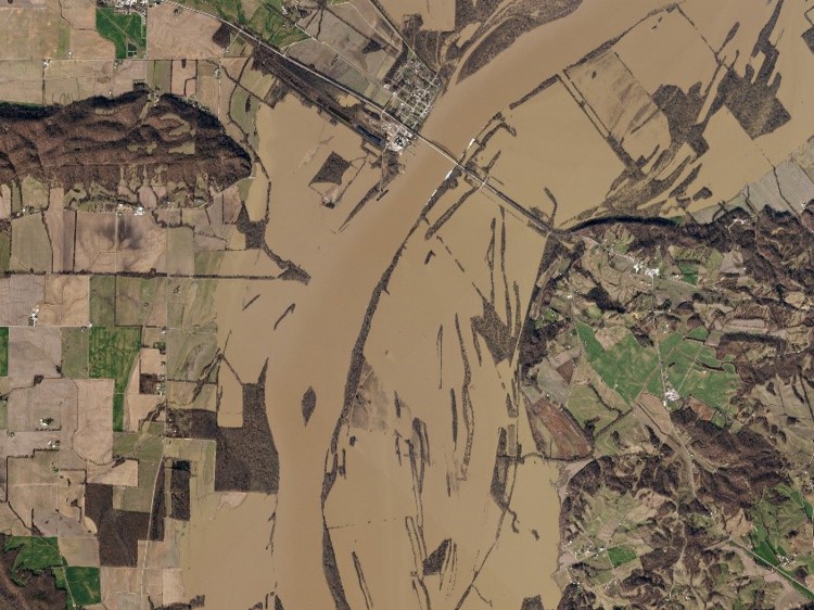
In early January 2016, floodwaters coursed through much of the midwestern U.S. These images show the Ohio River near Old Shawneetown, Illinois from a RapidEye satellite on December 9, 2015; and a PlanetScope image of the flooded river on January 3, 2016. Source: PlanetScope

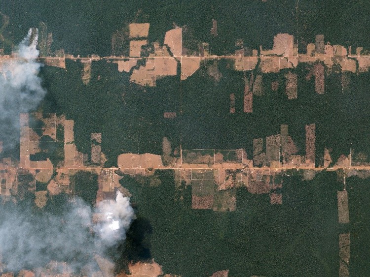
In the Amazon rainforest—just east of Porto Velho, Brazil—fires burn,clearing hectares of rainforest in preparation for farming and grazing. Source: PlanetScope