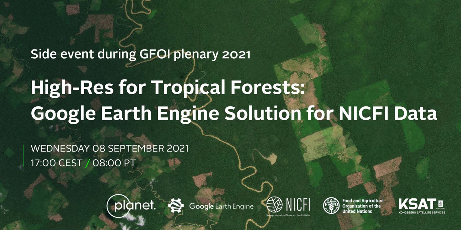
This webinar will present an exciting new addition to the NICFI Tropical Forest Program, the KSAT-led program that provides high-resolution satellite images of the global tropics to help stop deforestation and combat climate change.
Join us for this side event to learn more about this new partnership and solution, as well as learn from users already putting it to work.
Register for the webinar September 8 at 17:00 CEST
One of the most common feature requests the NICFI Data Program team received was to make the Level 1 Surface Reflectance (Analysis-Ready) Basemaps available for analysis in Google Earth Engine.
Speakers:
- Charlotte Bishop, KSAT
- Brian Sullivan, Google
- Erik Lindquist, Food and Agriculture Organization of the United Nations
- Tara O’Shea, Planet
The NICFI Data Program now has over 7,500 users from over 120 countries putting this data to work to reduce and reverse tropical forest loss.
