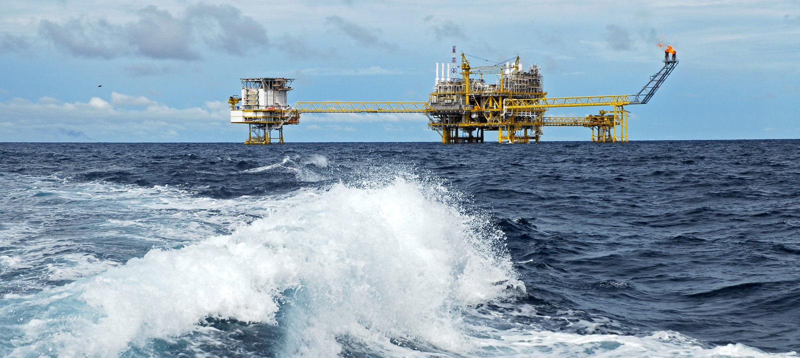
KSAT can effectively provide real-time wind information from a large area with high accuracy, important for understanding the weather conditions when for example detecting oil slicks.
Extracting wind information for years
Wind information at sea is important for different users in offshore operations ranging from renewable to oil productions. Measurements from buoys and installations have wind data from a single point location. This relies on deployment and infrastructure which requires resources.
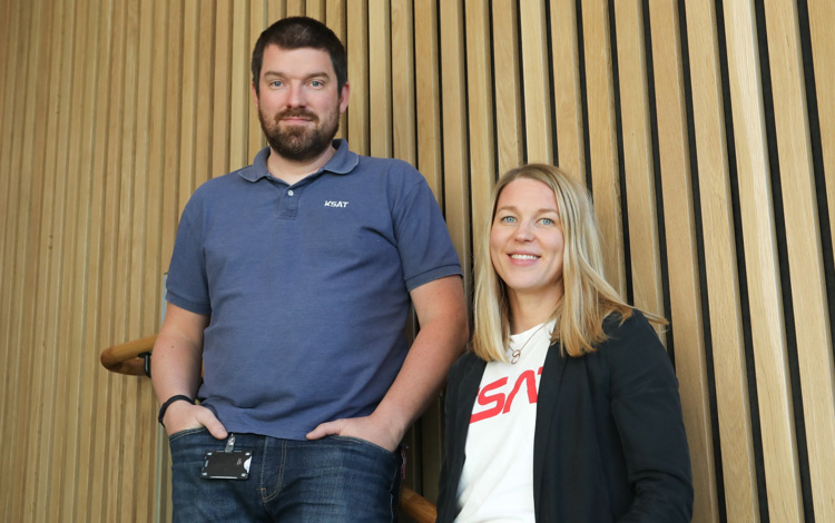
– KSAT has extracted information about wind from different satellite images captured by many different missions for several years, which is quite unique, said Dr Martine Espeseth, when she presented a paper on the technology at IAC. She is a specialist in analysis of SAR images for maritime services.
Can determine the detection capability
Information about wind gives great support in oil spill detection or vessel detection, by providing knowledge about weather conditions. KSAT is using the SAR-derived wind speed to produce detection capability maps for oil slicks, since oil detection on the sea surface is highly dependent on wind.
– Using SAR wind in this manner, we can determine whether the detection capability was good or limited in an area, she points out.
In near real-time with large view
The information can be extracted from SAR images, in near real-time over large oceanic areas and with high resolution. The analysis provides wind information, spotted in the satellite images.
– By combining the SAR wind from many sensors that we use in our services, we increase both the spatial and temporal coverage and can look at trends and time series – relevant for applications like renewable energy, Dr Espeseth says. She is together with Audun Høifødt developing the service in collaboration with KSAT and Norwegian Research Centre NORCE, with The Norwegian Clean Sea Association (NOFO) as one of the end-users.
Including new sensors
KSAT, supported by NORCE, offers SAR wind from 5 satellite constellations with approximate 25 sensors.
– Our sensor portfolio is constantly growing, and we are continuously including new sensors with SAR wind products into our service, praising the technology development and show how it can be applied to a wide range for sensors, Audun says. 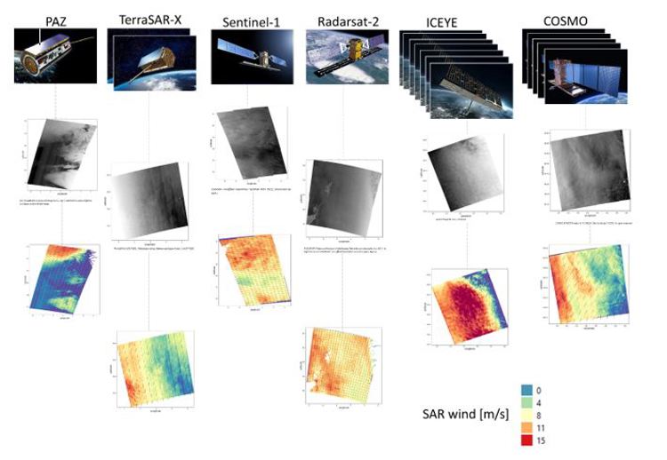
Figure shows images of the EO satellites (SAR) used at KSAT. Several images indicate multiple satellites within the constellation. Images of satellite: www.esa.int. The grey/black are the usual SAR images, and the colourful images show the estimated SAR wind.