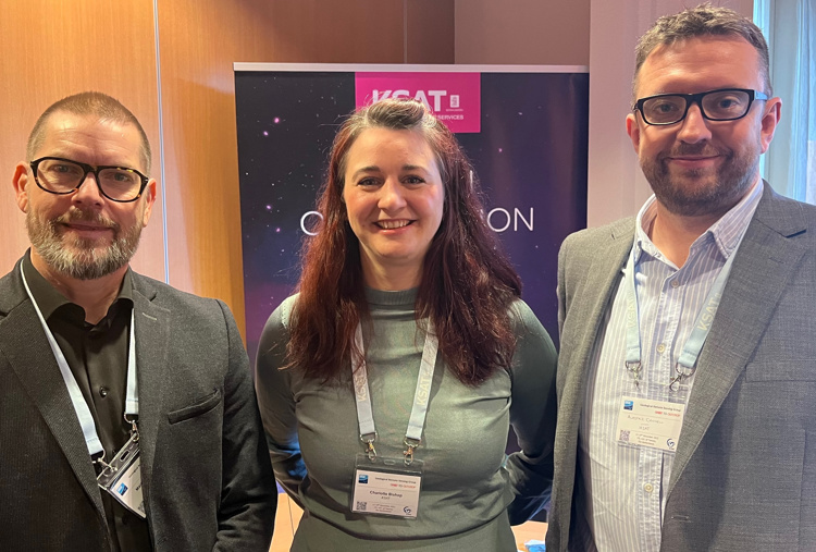
A one size fits all satellite for every geological application and what might be considered the “best”, may not be the best for all applications. That is one of the take-aways from KSAT senior project manager Charlotte Bishop’s keynote presentation at the Geological Remote Sensing Group (GRSG) annual conference. KSAT has, for many years, taken an active role in the special interest group, both attending, presenting and sponsoring at the annual conferences.
– There may not be a single “best” solution. The focus should always be the right imagery for the job, she says in her presentation.
Different "eras" of satellite remote sensing
Bishop has served as Chairman since 2016 and is stepping down, after 13 years on the committee, during the conference 11-14 December. The conference highlights the diversity and capability that has driven technology, but also the capabilities and potential in this field, and why it is important.
Using the geological time scale as a model and inspired by the popular card game Top Trumps Bishop’s keynote focuses on different “eras” of satellite remote sensing technology and how, each era represents a level of pushing boundaries into the next phase by including colourful informative satellite cards and interesting examples that have contributed to our further understand and development in this field.
Starting with Landsat which celebrated it’s 50 years in 2022, the presentation goes through over 20 examples of satellites as an indication of some of the most important optical missions (in particular) that have driven our knowledge in geology and geological related applications.
How can satellite data be used
Remote sensing for geology focuses on using a wide range of technologies available for mapping both large, small and oftenremote areas of the Earth, as well as supporting planetary science.
Such information supports geological and geoscience applications including exploration, engineering, geomorphology and geohazards. The information may come from ground-based systems, drones, planes or satellites.
With over 15 years’ experience in remote sensing Charlotte is passionate about helping to educate those wishing to learn more about remote sensing, satellites and how such data can be used. Her role in KSAT uses a range of remote sensing technology in multiple projects and services including energy, mining and environmental monitoring for both onshore and offshore applications meeting the needs of those customers who require time critical information as well as those that do not.
About GRSG
The Geological Remote Sensing Group (GRSG), established in 1989, is a special interest group established of the Geological Society of London (GeolSoc) and the Remote Sensing and Photogrammetry Society (RSPSoc), that was set up to bring together professionals, students and researchers in the field of geological remote sensing to share, collaborate and network. Each year ithosts an annual international conference and AGM as well as various training courses, outreach and other events both in the UK and abroad.
Whilst the GRSG was set up in London, its committee boasts a broad range of expertise with service providers, energy companies, researchers, students and satellite operators on the committee and its membership is equally as broad.
About KSAT
KSAT has provided oil spill and other time critical services for over 25 years, driven by its ground station network and long-standing relationships with satellite operators. With growing land-based services to complement the maritime solutions, all of which are served by a world-leading, and independent, “virtual constellation” of optical and SAR satellites, KSAT continues to provide independent and unbiased advice to support for a range of applications, for customers across the world.
Image credit of Earth: NASA