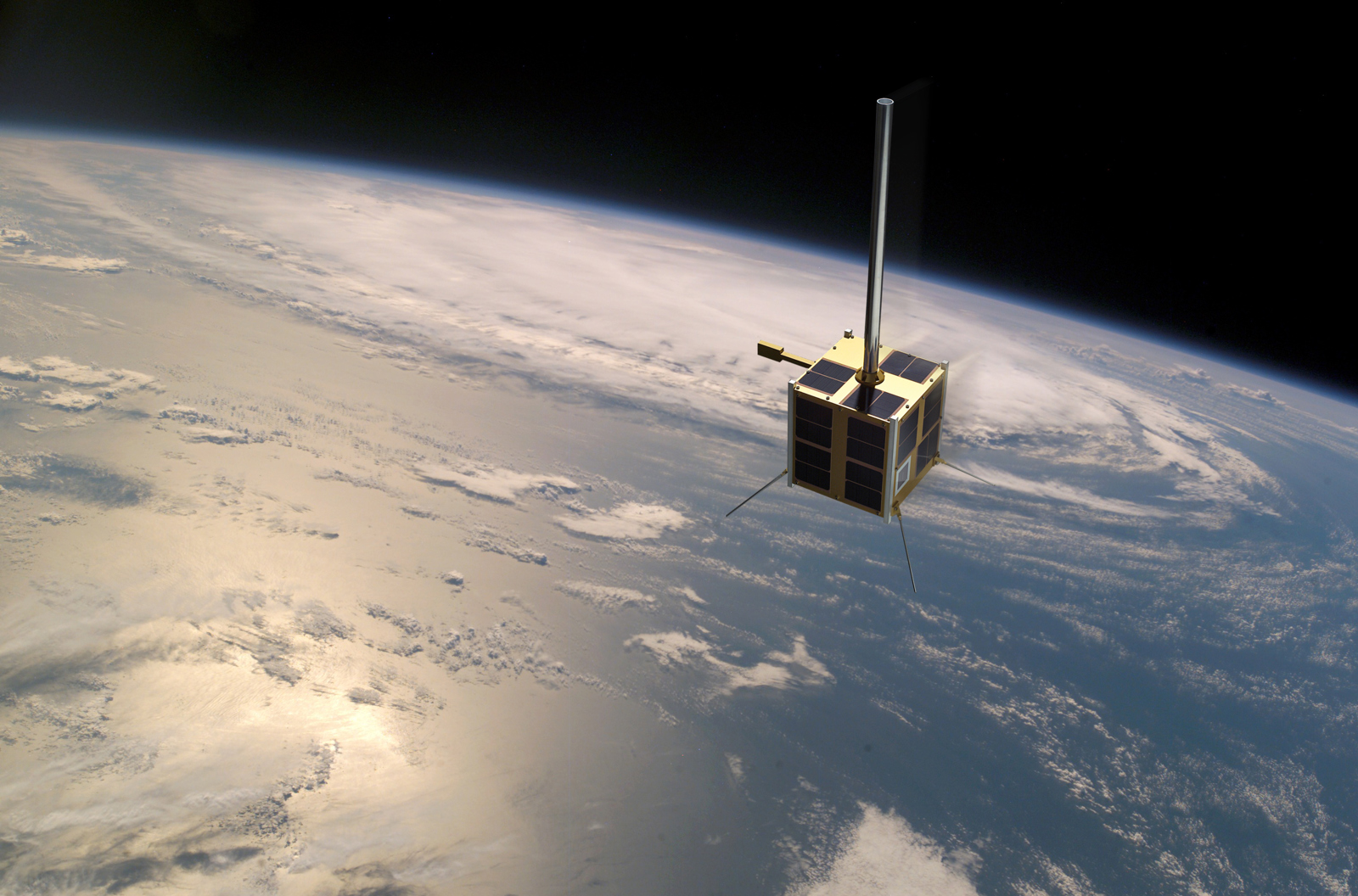
Launched on an Indian PSLV rocket 12.July 2010, the 20 x 20 x 20cm, 6kg, cube-shaped nanosatellite has been maintaining a sun-synchronous polar orbit for a full decade. The satellite is receiving Automatic Identification Signals (AIS) messages from ships all over the globe containing information about the identity of the vessel, position, speed and heading. These messages are then transmitted to earth by using the KSAT Svalbard Ground Station.
The KSAT Svalbard station is used for data reception and satellite control, and with its 100 antenna systems, this is the largest ground station in the world. Stored and real-time data from the satellite is acquired and forwarded to the mission control center located at FFI in southern Norway.
Provided new information about activities in norwegian waters
The space based AIS receiver dramatically increased the visibility into activities in areas previously out of range for the traditional land-based receving stations. The Norwegian Coastal Administration said at the time it was like someone had "turned on the light", as Norwegian maritime authorities quickly gained important knowledge about the amount of traffic, trends, fisheries and other vessel activities in Norwegian waters.
Norwegian waters amount in total about more than 2 million square kilometres, comprising the 200 nautical mile-long economic zone, the fishery- zone surrounding Jan Mayen, and the fishery protection- zone surrounding Svalbard, and using satellites is the only effective way to monitor these vast and often remote areas. AISsat-1 alone can monitor the high North and the high South fifteen times a day, thus, continuously monitoring the oceans Norway is responsible for and has an interest in.
Important tool for pollution control and fisheries monitoring
KSAT is using AIS information from AISsat-1 in operational maritime monitoring services as a way to identify vessels detected in satellite images. In case of an oil spill AIS is used to identify the source of the spill, or polluter, and the combination of satellite images and AIS is an important tool in gaining more information about illegal fisheries and other related activities at sea.
A recent report from Global fishing Watch and Trygg Mat Tracking contains satellite images from KSAT in combination with AIS revealing "dark vessels" that are not reporting required AIS, (close to 75% of the vessels fishing in the area were not indicating their presence), thus identifying one of the largest illegal fishing operations in the world outside the coast of Somalia and Yemen.
KSAT is using data from AISsat-1 in their operational 24/7 services in combination with the other norwegian AIS satellites; AISsat-2, Norsat-1 and 2 in additon to commercial providers, contributing to increased maritime situational awareness on a global scale every day. 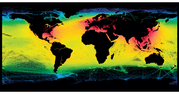
With a expected lifetime of 3- 5 years its impressive that 10 years and 2,4 billion kilometers later, AISSat-1 is still in full operation, collecting more than 500 000 AIS-messages from more than 30 000 ships per day.
AISsat-1 is a collaboration between Kongsberg Seatex, the Norwegian Space Agency, the Norwegian Defence Research Establishment (FFI) and the Norwegian Coastal Administration. KSAT has provided ground station support from their Svalbard Ground Station.