The Norwegian Ministry of Climate and Environment has released a Call for Proposals to obtain Level 2 access of the NICFI Satellite Data Program.
In addition to the images available to the general public, Norway has a very limited set of access keys to not only the mosaics but also the underlying imagery, as well as selected scenes from the historic archives. This level of access is referred to as “level 2” access and those that receive this access are called “General Partners” in the contract between the Ministry and the data suppliers.
The call for proposals is open until the 13th of June 2021. Winning proposals will be granted free access to PlanetScope, RapidEye and selected SPOT scenes ranging back to 2002, as well as access to daily viewing of PlanetScope imagery for the duration of the NICFI Satellite Data Program.
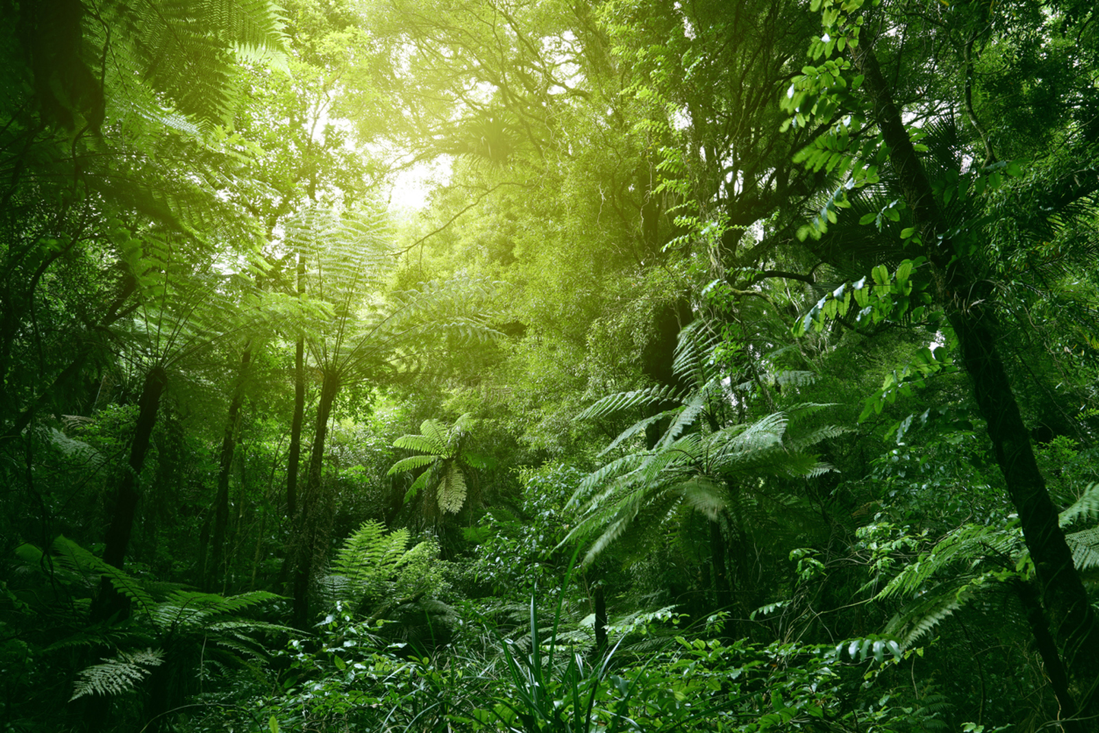
KSAT provides together with the partners Planet and Airbus universal access to high-resolution satellite monitoring of the tropics through the NICFI Satellite Data Program, in a four year groundbreaking agreement. The ultimate aim is to support efforts to stop the loss of tropical rainforests.
The high-resolution satellite images provide an overview of all tropical forests and land masses, and these images are updated every month. Anyone can become a user and thereby access image archives that include data dating back to 2015. This allows any interested party to see the development that has taken place in tropical forests over several years. This service is completely free of charge and available via www.planet.com/nicfi.
