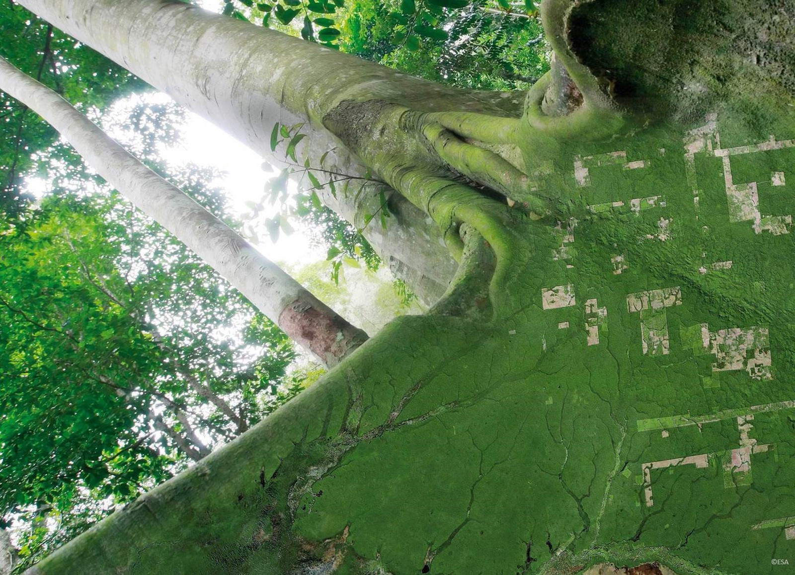
NICFI Tropical Forest Program
KSAT provides high resolution satellite imagery to inform action on climate change, forest management and sustainable development, free for anyone.
In 2020 the Norwegian International Climate and Forest Initiative (NICFI) awarded KSAT and its partners, Planet and Airbus, with a multi-year contract to provide an unprecedented volume of satellite data free of charge for anyone wishing to use it. The purpose is to reduce and reverse tropical forest deforestation, conserve biodiversity and facilitate sustainable development.
The program is designed to be as broad as possible to ensure it is useful for as many groups as possible. The data is available for non-commercial use by any user organisation whose activities are in line with the initiative’s goals and not for financial gain.
KSAT is the leader of the initiative and provides overall service management and coordination as well as tier one (first port of call) service support. Together with its partners, Planet and Airbus, it has offered a data program that meets the requirements of the Norwegian Ministry. Planet provides both archived and new high-resolution data for this service and Airbus provides access to its historical SPOT datasets for strategic partners.
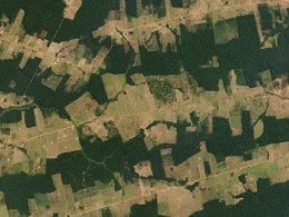
Under the program, datasets are made available for a vast continuous area of 45 million square kilometres of tropical forest every month, covering 97 countries between 30 degrees North and South.
- Visual Mosaics:
- Optimised for visual display and designed to be accessible for everyone including the public
- View Only
- Spatial resolution: 4.77m per pixel
- Spectral resolution: Red, Green, Blue (3 band)
- Analysis-ready Surface Reflectance Mosaics
- Optimised for scientific and quantitative analysis
- Downloadable
- Spatial resolution: 4.77m per pixel
- Spectral resolution: Red, Green, Blue, Near Infrared (4 band)
- Spectral resolution: Red, Green, Blue, Near Infrared (4 band)
Imagery is available at cadence levels not previously seen on this scale:
- Bi-annual – twice per year from December 2015 – August 2020
- Monthly monitoring - from September 2020 through 2022 with possible extension to 2024
For more detailed information and entry points for access and download the project landing page can be accessed at www.planet.com/nicfi or by contacting the project helpdesk